Application of SRP–PHAT beamforming in seismology

Vol. 60., No. 1, 2025

Abstract

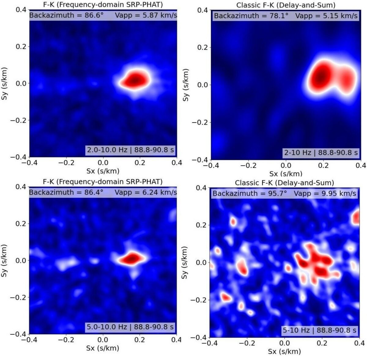
The Steered Response Power – Phase Transform (SRP–PHAT) method, originally developed in acoustics for robust source localization in noisy and reverberant environments, is evaluated for applications to small-aperture seismic arrays. This study demonstrates that SRP–PHAT can effectively address two related tasks: microseismic source localization and frequency–wavenumber ( f –k) spectrum estimation. A theoretical framework is provided, highlighting the conceptual similarity between these tasks, followed by experimental validation using real seismic data. Three different datasets are analyzed: (1) recordings of the S phase from the Kursk submarine explosion (August 12, 2000) captured by the ARCES array; (2) data from a temporary array deployed for tremor source monitoring; (3) data from a seismic array used in microseismic monitoring during hydraulic fracturing. The results illustrate several cases in which SRP–PHAT provides more stable or accurate slowness estimates than conventional methods, suggesting that it represents a viable alternative to classical f –k approaches, without claiming universal superiority.

Long-term changes in fire weather conditions in Ukraine

Vol. 60., No. 1, 2025

Abstract

This study investigates spatiotemporal changes in fire-dangerous weather conditions across Ukraine during the period 1960–2023. Daily temperature and relative humidity data from ERA5 reanalysis were used to calculate Ångström index, which reflect the level of potential fire danger based on meteorological conditions. Trend analysis revealed a consistent decrease in Ångström index values across regions of the country and in all seasons, indicating an overall increase in fire danger during the study period. An assessment of the frequency of fire danger classes based on the threshold values of the Ångström index revealed significant positive trends in the frequency of days with extreme and high fire hazard in most of Ukraine during the warm season (April–October), with the greatest increase observed in the southern and southwestern regions. The average number of extreme fire danger days has increased by more than 1.5 times since 1960, reaching 51 days in the recent decade. The analysis of the relationship between burned areas and number of days in different fire danger classes in warm period of the year revealed clear regional differentiation depending on index thresholds. In forested regions, the largest burned areas were associated with extreme and high fire danger classes. By contrast, in steppe and forest-steppe zones, the greatest burned areas occurred under less severe weather conditions corresponding to the moderate fire danger class. The results of the study demonstrate the potential of using the Ångström index both for the operational assessment of fire weather danger and for the development of a comprehensive system for assessing and forecasting fire risk in various landscape zones of Ukraine.