A. N. S. Feumoe, M. P. Mouzong and E. H. Ngatchou
Vol. 57, No. 1, 2022
Abstract
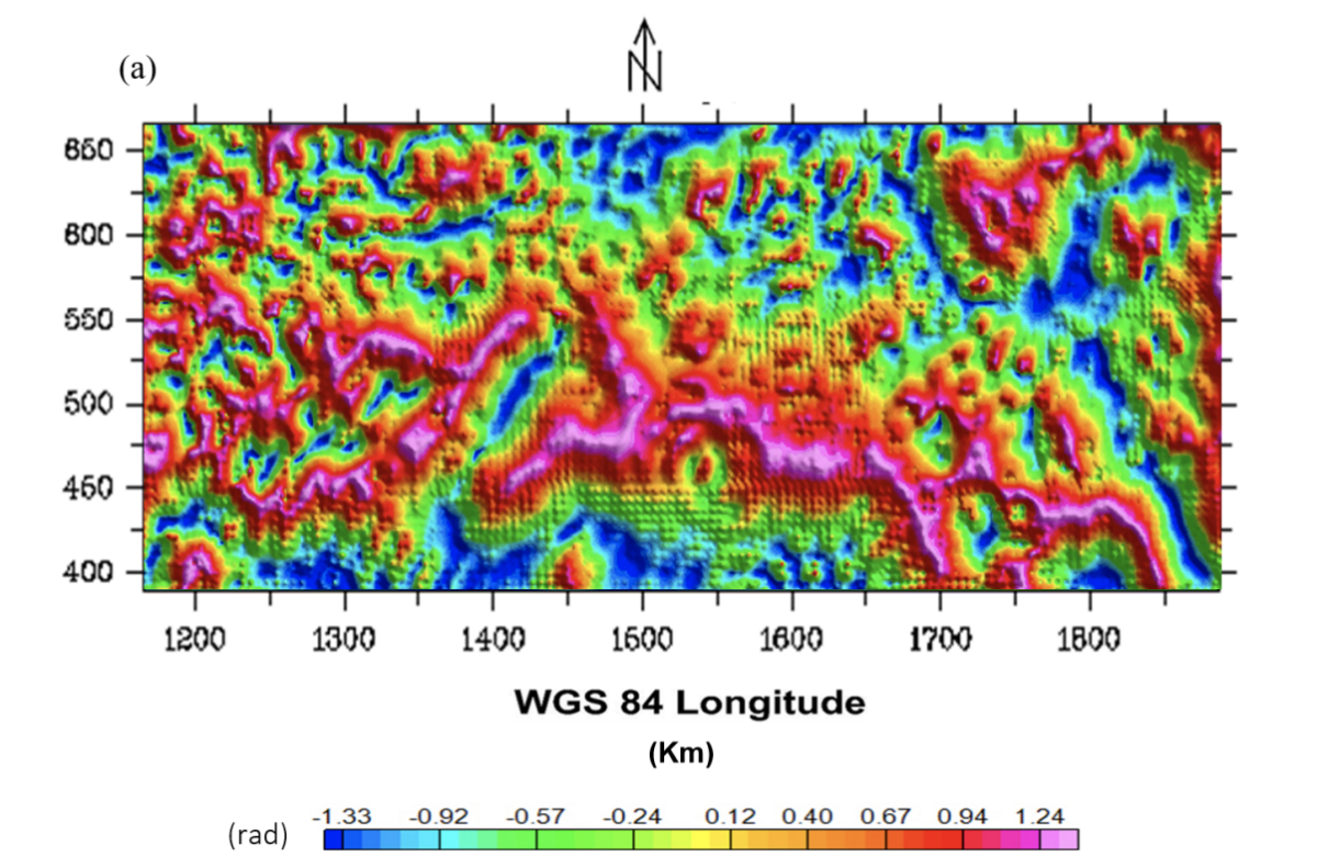
Geothermal energy resources of the northern part of Congo Craton boundary in Cameroon are highlighted by 3-D geophysical inversion-modeling and intrusion estimation using gravity data. Determination of the magnitude maxima of (1) tilt derivative gravity allowed map to be produced showing various lines of fractures interpreted as the preferential paths for circulation of geothermal energy resources up flow to the surface, and (2) the total horizontal derivative give an overview of the possible deep geological setting in the area, which are acting as the source of geothermal potential. We find that these structures (fractures and igneous intrusion) are associated to long-wavelength anomalies, suggesting that its should be connected with large-scale structural deformation due to the collision between Congo Craton (CC) and Pan-African belt or Mobile zone (MZ). Interpretation of 3-D density models derived from the inversion of gravity data shows the presence of igneous intrusion within the faults with high density, probably granulitic rocks put in place during the Pan-African belt reactivation. The distribution of high density constitutes the geothermal potential energy resources of the studied area.